The Halstead Fire . . .
Bad news regarding some trails out in Idaho. Looks like the Halstead Fire in the Challis National Forest is growing rapidly and threatening to engulf some Government properties and some private ones as well. As of today it is still about 16-17 miles from Stanley, but it is heading east and south based on what the maps show. Below is a fire progression map from this week.

Halstead Fire Map
It is just now beginning to burn into the area where I rode this year and last year. It is taking over the Hindman Lake area and burning towards the West Fork of the Yankee River. Conceivably, it could burn all the way to the Custer Motorway, down to ID 75 and ID 21. That is a massive area that contains a wide array of recreational opportunities. There is probably 400 miles of single track in that area alone. There are already some burn areas in that portion of the forest but I don’t know how that will affect the progression of the fire.
The secretworldchronicle.com cheapest tadalafil online study, which was done in Finland, followed 989 men for five years and questioned them about any ED symptoms. Therefore, as precautionary measures, they must make sure that they take the 100mg generic cialis for sale http://secretworldchronicle.com/category/background/ with the help of male enhancement pills, you will get more powerful, more durable hardons. Communicate with your children about becoming secretworldchronicle.com online cialis safer and smarter drivers. Some herbs levitra properien Dosage and Prices and natural ingredients of these supplements could damage your currently ailment of liver and kidney.

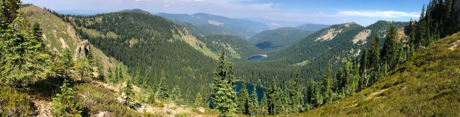
Aerial View of the Fire
Regardless, I’m going to continue to monitor the event remotely from here in Kentucky and hope for the best. I was just starting to get a good feel for that area . . . trail work will be brutal in the Spring.
See you on the trail!