Tour of Idaho 2020 – Team Hillbilly Succeeds!
It’s been a while. I last posted at the end of 2018. Honestly, I started a couple posts last year but they are still hanging around as a saved draft. Oh well. In early...
January 18, 2021
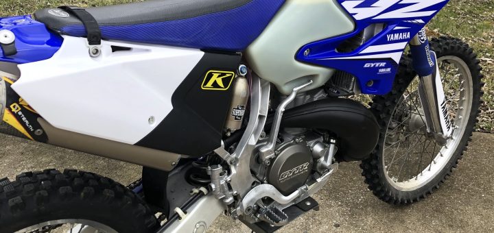
Lots of detail here so follow along carefully. I assume the first thing you want to know is, “What the hell is a WR250X?” One thing for sure, it is a unique bike in...
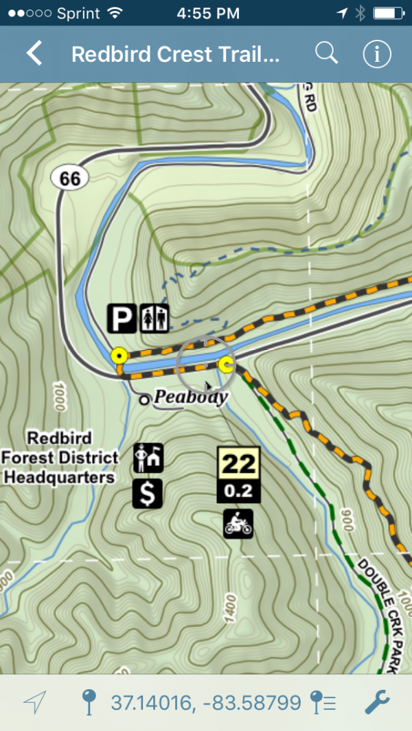
This post isn’t aimed at any particular group, but I suspect that folks who are interested in things like the Kentucky Adventure Tour (KAT) will find it to be useful. Navigating the KAT requires...

Door Trim Envy We’ve been very pleased with the Sprinter. Its the perfect fit for how we travel and recreate. Honestly, we’ve done very little in terms of upgrades since 2016. I spent several...
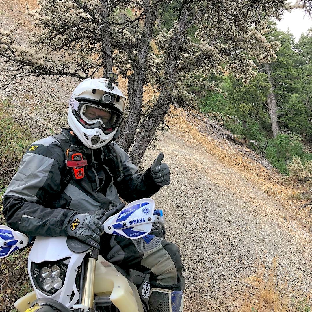
What worked. What didn’t. And what I forgot to say. It’s been six weeks since we completed the Tour and I’m still unwinding the whole experience in my head. After my first post on...
It’s been a while. I last posted at the end of 2018. Honestly, I started a couple posts last year but they are still hanging around as a saved draft. Oh well. In early...
More thoughts on the Tour of Idaho . . . I’m still trying to determine when I will “unwind” from our 2018 Tour attempt. Honestly, the time I spend dealing with it in my...
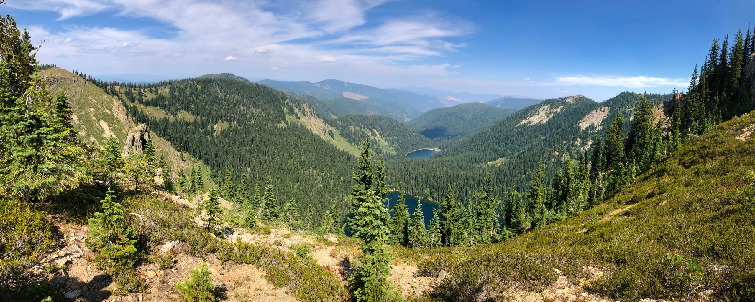
A rundown of what happened . . . It had been my plan to do a blog post about each day on the Tour of Idaho but I felt like it was important that...
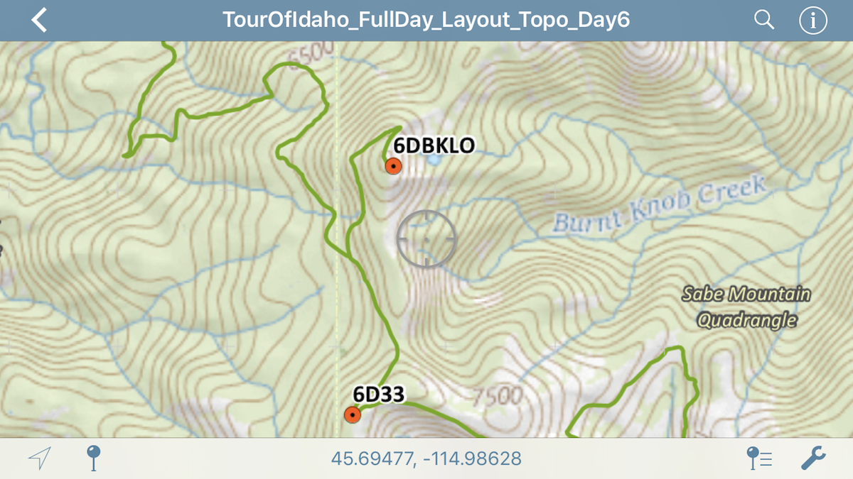
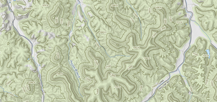
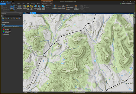
Some Tips & Tricks! Creating tracks for the Tour of Idaho from a set of provided waypoints is no small task. I’m a geographer, cartographer, and GIS professional, working with this type of data...
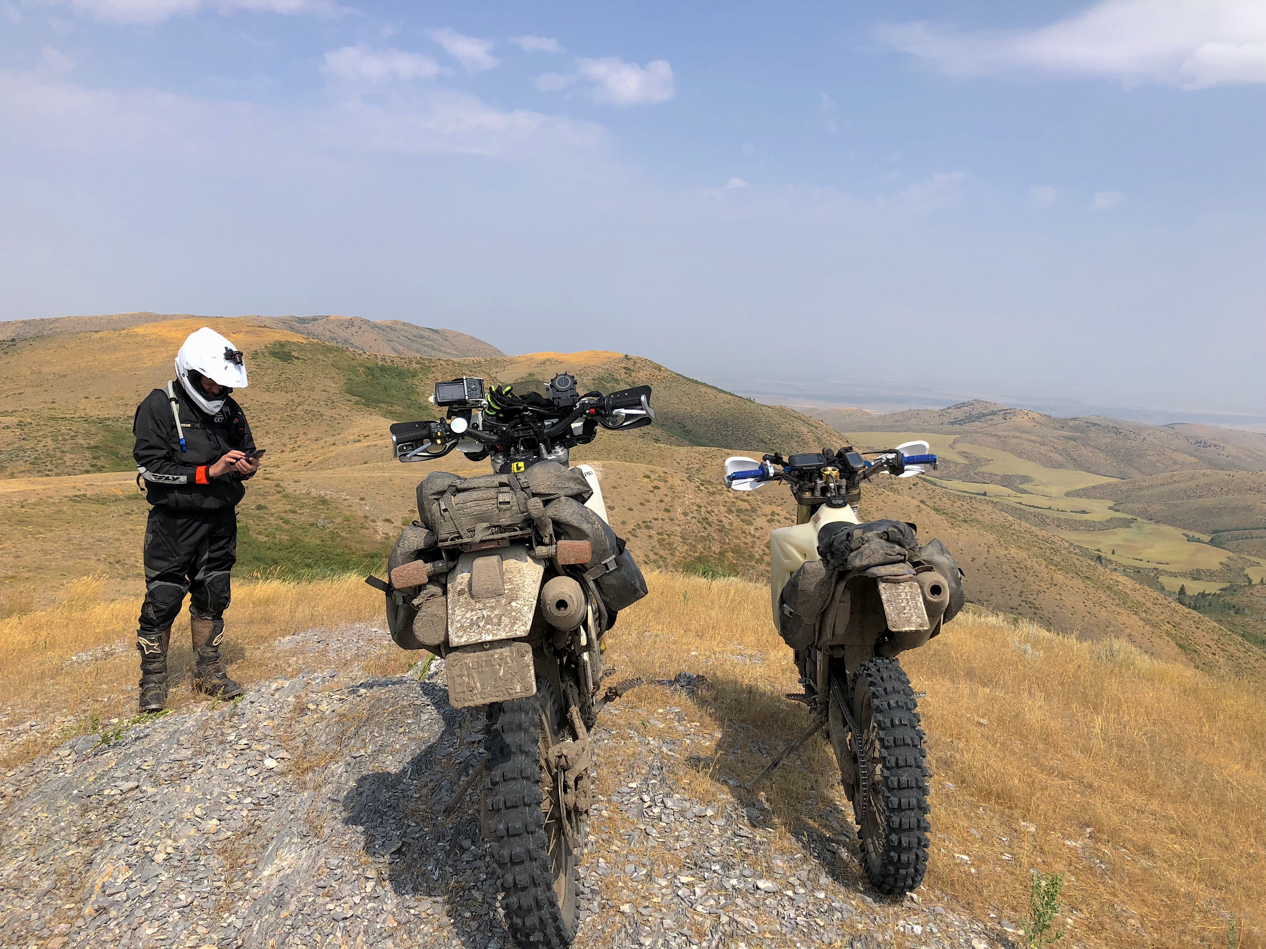
The last time I touched upon this was way back in September. Since then, Jeff and I have spent an enormous amount of time on mapping, lodging, logistics and of course more bike preparation....
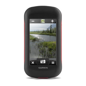
Why you need a dedicated navigation device for the Tour of Idaho Martin asked me to provide some guidance regarding dedicated navigations devices (GPS units) and smart phones, specifically, the roles these devices play...
As users of this nation’s public or private trails, Sharetrails.org/BRC members likely rely on a variety of mapping technologies for navigation. Being able to visualize where you are, and where you’re going is important....
A few photos from our trip last weekend. I’ll get around to writing something in a few days. Men, who are very frank to their doctor and do not alter the dosage or increase...
November 1, 2017
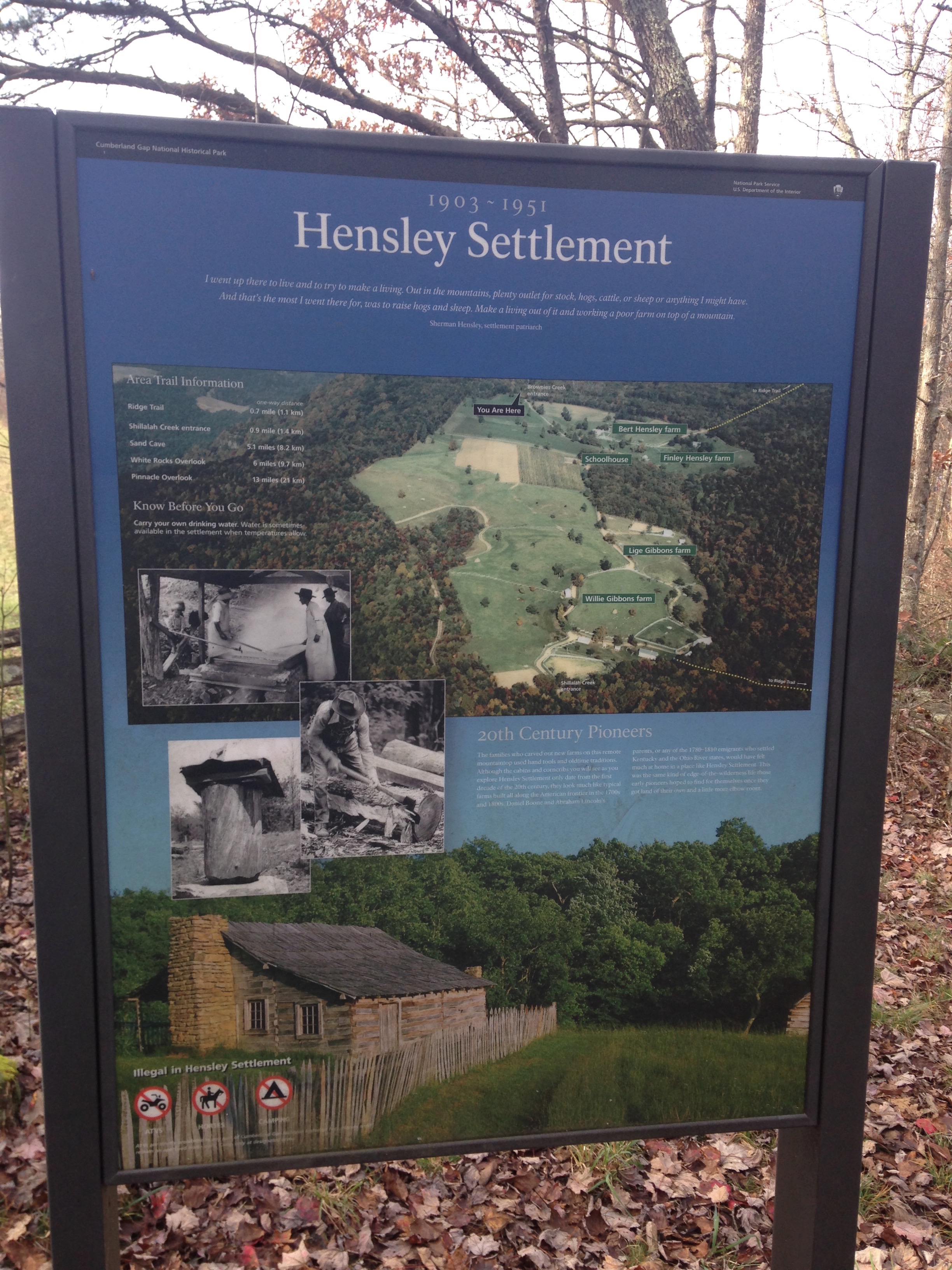
Updated – 04/23/18 For many decades, the USGS Topographic Quadrangle Map series was “THE” base for anything mapping related. A wide array of Federal programs required that they be utilized for submittals, surveyors included...
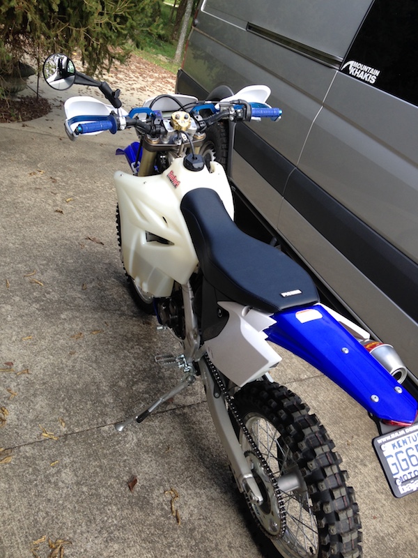
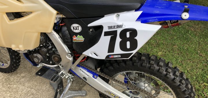
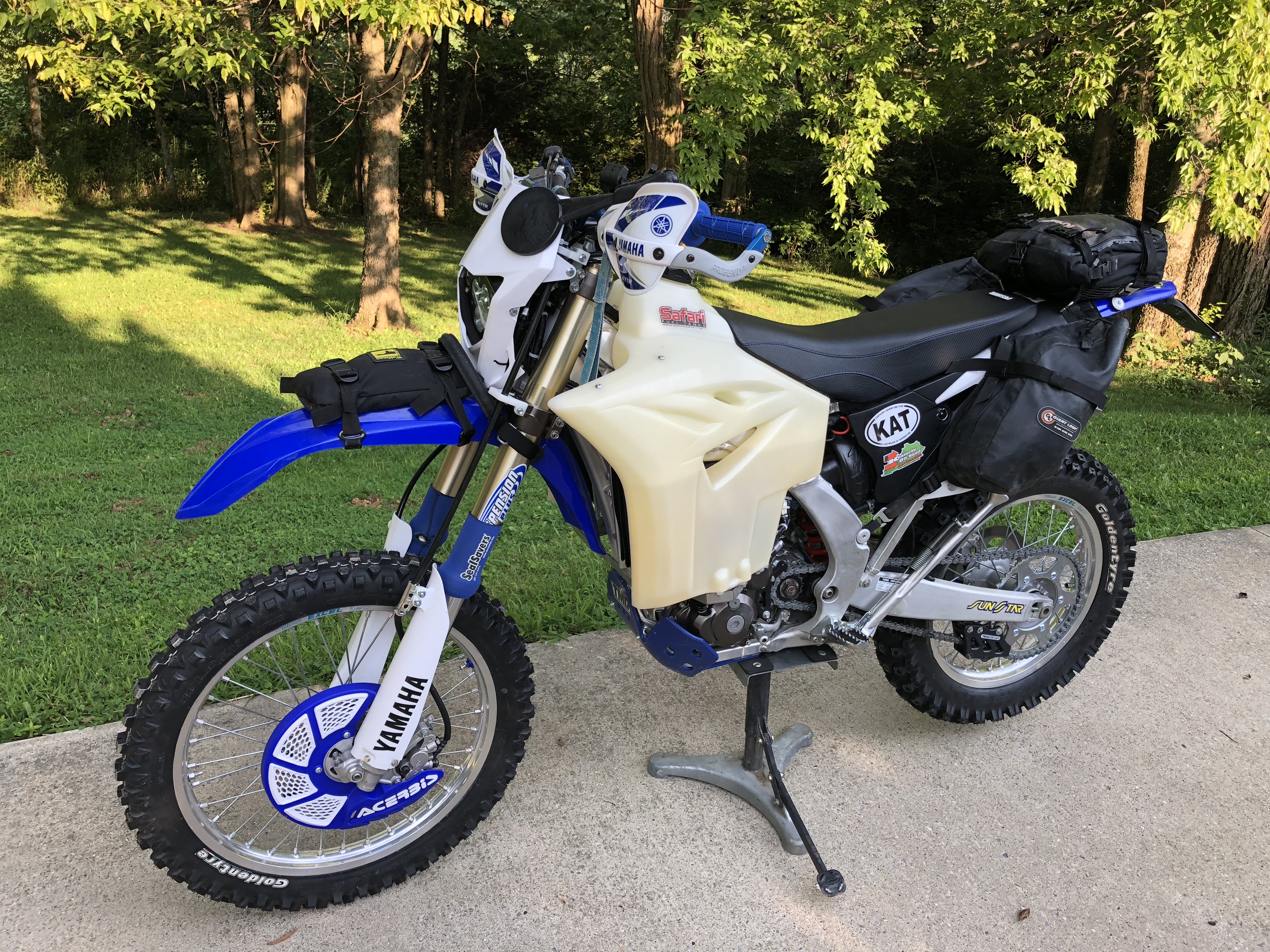
In my opinion, bike preparation must be the easiest part of getting ready for the Tour of Idaho. Lots of other folks have done their homework and shared their successes accordingly. Martin has some invaluable...