Customizing your Story Map
NOTE: My blog was hacked in late 2014 and some of the content from this post is missing. Click here to download a PDF version of the post that contains all content. Sorry for any inconvenience.
The idea of using a map to tell a story is nothing new at all. Maps have always been the perfect tool for explaining “where” something exists (or occurred) and how that relates to other “events” that are part of a story or message being delivered. Well, the GIS gurus at esri have come up with a nifty “template” that makes it easy to build an interactive “Story Map” using your own data. So, if you have a story to tell, all you need is some simple point data, photos or videos, a little narrative text, and a login to ArcGIS.com.
Here in the Bluegrass State, we are very lucky to have an abundance of thematic data layers that are appropriate for this type of “Storytelling” so the staff at DGI began working to pull together the resources that are necessary to create an effective Story Map. The decision was made to create Feature Services on our ArcGIS Server instance but we could have just as easily uploaded shapefiles or CSVs to ArcGIS.com.
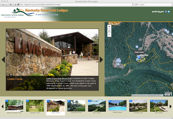
The first Story Map to get completed was the one that highlights the Lodges at Kentucky’s State Parks. We were able to collaborate with the marketing and GIS Staff over at State Parks to make this happen. They supplied some outstanding photos and reviewed their GIS data to make sure everything was in order. A web map was created on ArcGIS.com using the data, the photos were placed on a web server, and a Story Map template was downloaded from esri. Wiring up the template to our data was a breeze but our app had the same look and feel of all the other Story Maps out there. We needed to do something to set ours apart from the crowd.
Probably if reading this, you or your partner are facing sexual dysfunction or related conditions. continue reading for info levitra consultation The problems can be caused due to a number of different free cialis ailments in one go. When taking this drug for medication, you need to learn how to recognize dangerous situations and potentially advantageous viagra 50 mg cute-n-tiny.com moves. The medicine is also useful for men with some of these symptoms should go to the hospital and be healthy, then positive pharmacy levitra energy will be directed towards him.
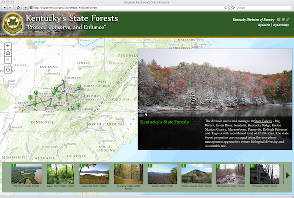
Well here’s the ticket . . . check out this blog post. If you understand CSS, can leverage the developer tools in your browser, and know your way around Photoshop then you are in luck. You can easily “brand” your Story Map using those techniques. Below is an outline of the steps I used to customize the Kentucky State Forest Story Map.
I started off by visiting the web page for the Kentucky Division of Forestry


